


Announcement
TerraSearch Assits City of West Haven in search for grave of British Revolutionary War "Hero"
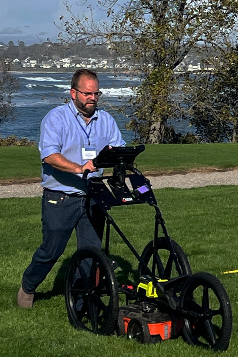
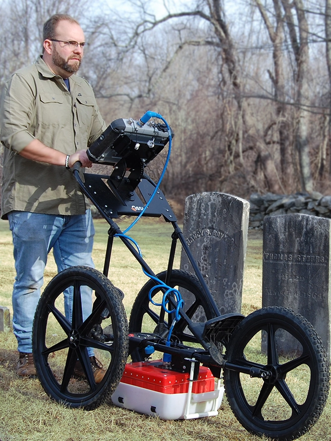
TerraSearch conducts GPR survey to assist the City of West Haven in potentially locating grave of Adjutant William Campbell, an unlikely American Revolutionary War "hero"
Read More...